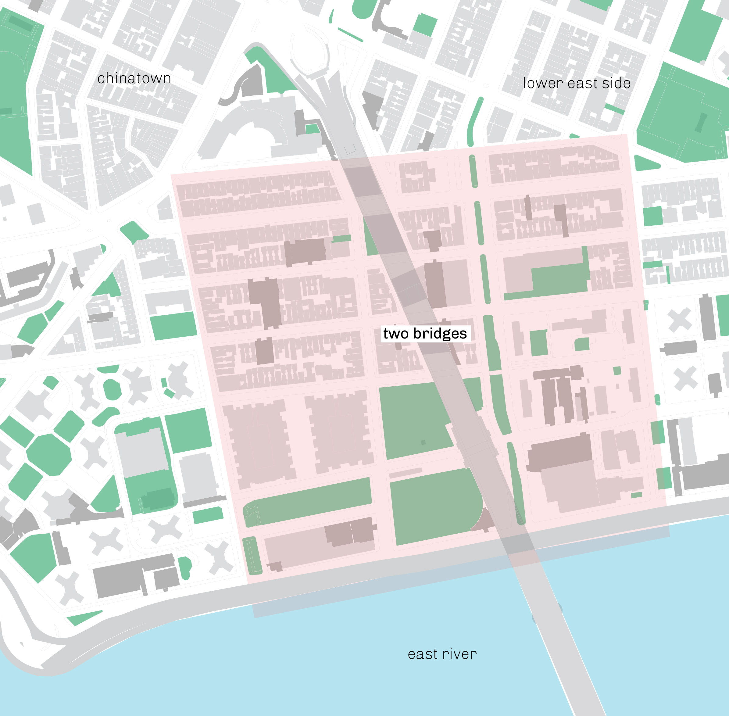
two bridges urban design

This project was a proposal for urban design interventions for New York City’s Two Bridges neighborhood. Several features were identified in a brief site visit, particularly the way that the bridge acted to bisect the area as well as the unevenness of public realm improvements. Other class members looked at transportation access, especially bus routes, and the potential implementation of a linear park through NYCHA property. My main focus was the spaces underneath the bridge in the hopes that their activation would then knit the two sides of Two Bridges together.
tools
Adobe Illustrator
Adobe Photoshop
QGIS
skills:
Visualization
GIS
Research
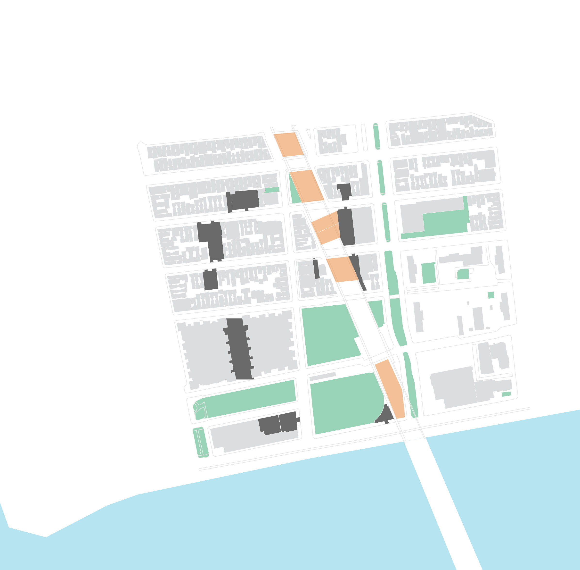
Key to connecting the halves of this area are the spaces underneath the Manhattan Bridge. This has already taken place--a well-used daycare/store/playground sits under the northernmost crossing. The remaining parcels are primarily storage space or municipally-owned and have the potential to be developed with adjacent lots to create a better connection, even considering the noise from the bridge itself. Parcels can be combined with those adjacent to increase square footage of a single property. Set-backs, greenery, and lighting are encouraged to create public spaces that invite people to cross under the bridge. Materials and massing are to be complementary with adjacent buildings and uses.

The city has invested in creating a greenway to meet the East River parkway, which also forms part of the city’s flood prevention plan. These north/south connections need to be strengthened in order to firstly, allow local residents to enjoy the water, but also to entice users of the parkway to enter the neighborhood and support business. In addition, new developments could contribute to a NYCHA capital fund to build a recreational corridor, and streetscape improvements: specifically completing the pedestrian/bikeway facility on Pike St. in order to build north/south connections with waterway. As seen above, the streetscapes to the west have already been upgraded, while the other N-S connection remains bleak.
